
As the weather gets nicer it becomes more appealing to venture off-road, both for a change and to get away from traffic. Although this route only achieves that in part! One of features of the Flatlands of England (East Anglia) is that it is well - flat and also one of the drier parts of the UK. This means that even on a conventional hybrid bicycle you can use byways, bridleways and BOATs (otherwise known as byways open to all traffic) without to much difficulty. The only real problems occur when the paths become churned up with huge ruts. They are worse when wet though, when they are dry you can at least push/carry the bike around them. Normally though they tend to consist of slightly bumpy tracks and as I have come to find there are loads of them. Sometimes I have a look on the map to see what is interesting and sometimes I just venture down a track to see where it goes.
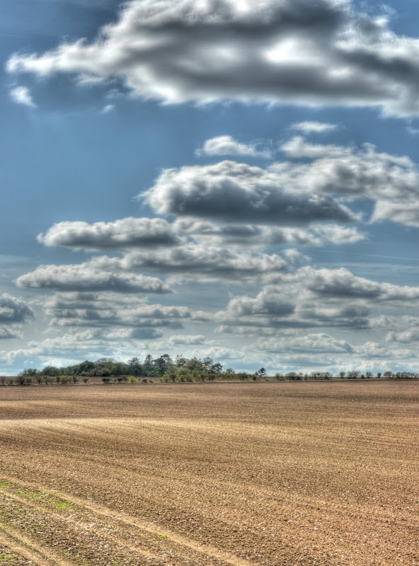
To get to this route I headed out from Cambridge towards Swaffham Bulbeck on the Sustrans 51 route, where after climbing up around the back of Swaffham Bulbeck I set out along the Swaffham Heath road (signed towards Newmarket). As I was cycling along the road I had to stop to take a few pictures of the wide-open skies - blue with puffy clouds floating along. As you can see the soil looks chalky around here - only a couple of miles from the black peaty soil of the Fens.
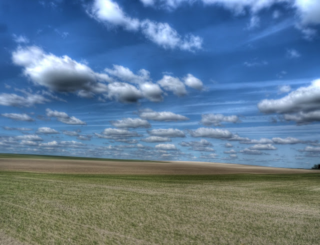
This is a picture made up of 3 x 7 sets of pictures. (I use 7 exposures to create one HDR picture and then in this case 3 HDR images to create the picture. As I was taking pictures a chap came by in an open-topped sports car to admire the same scene. He wished he had got his camera with him.
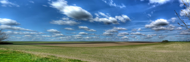
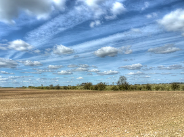
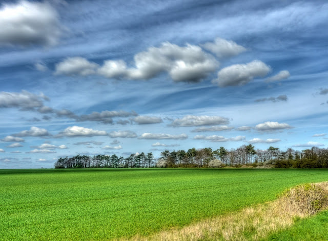
The same clouds in the sky - and crops growing in the fields.
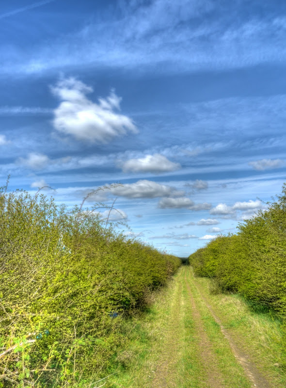
Then just before the Heath Road rises to cross over the A14 dual carriageway there is a turn to the left that takes you down a track which runs parallel to the A14. (This is actually where the A11 and A14 combine so technically it runs alongside the A11 which quickly becomes the A14.) In the main it has hedgerows each side - now showing quite a bit of leaf. The surface is not too bad but the ruts can cause the bike to go a bit unstable. Normally I would wear a helmet, protection from both falling and brambles in the face - just in case - but I had forgotten!
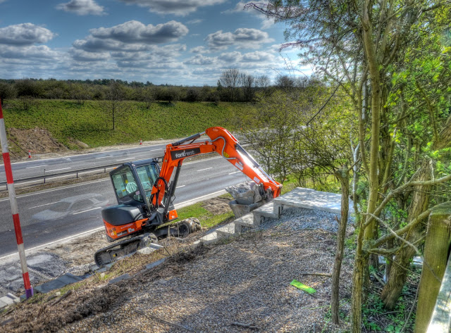
Heading down the track there are fields to the left and a very busy road to the right. I am sure that motor vehicles have become noisier - of perhaps we now get more noise generated from the roads due to heavier traffic (both more and larger vehicles). However because cars and other vehicles have become more luxurious, with more sound-proofing, most motorists do not realise how much noise pollution they create. This is the A14 - it looks like the digger is trying to escape! The ghost images of cars result from the way in which several different pictures are combined to create the final image.
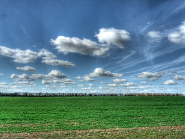
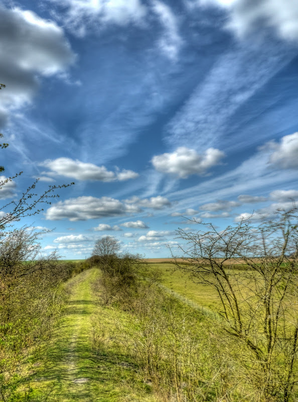
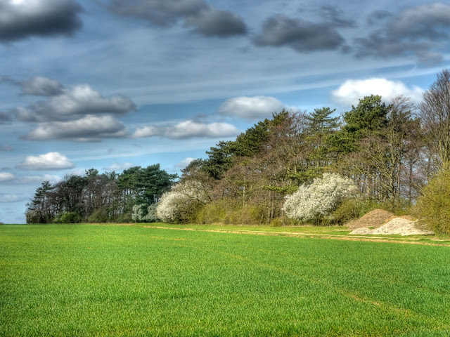
The much nicer view the other way - fields, clouds and a slight hill!
The ridge running along the middle of the picture is called the Devil's Dyke part of a set of several Anglo-Saxon earthworks (Fleam Dyke, Devil's Dyke, Brent Ditch and Bran Ditch.) The Devil's Dyke stretches from Reach to Woodditton and is 7.5miles long. I have walked along it with a bunch of scouts or cubs - it was a while ago!
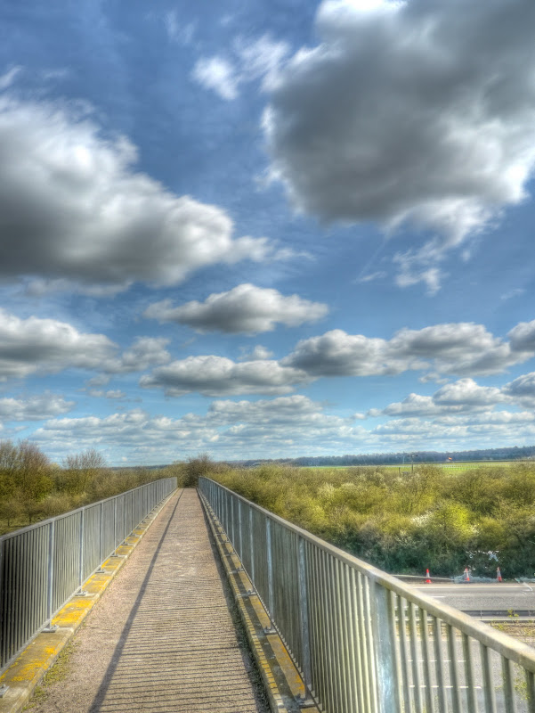
The path I was on passed under a bridge, built to allow those walking on the dyke to cross over the A14 safely. Here is the view of the devil's Dyke looking towards Reach.
The view of the bridge over the A14 - looking towards the WoodDitton end.
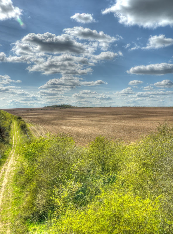
The track I had just cycled down from the Swaffham Heath Road. The A14 is to the left of the track - but I deliberately left it out of the picture. Roads get too much space as it is.
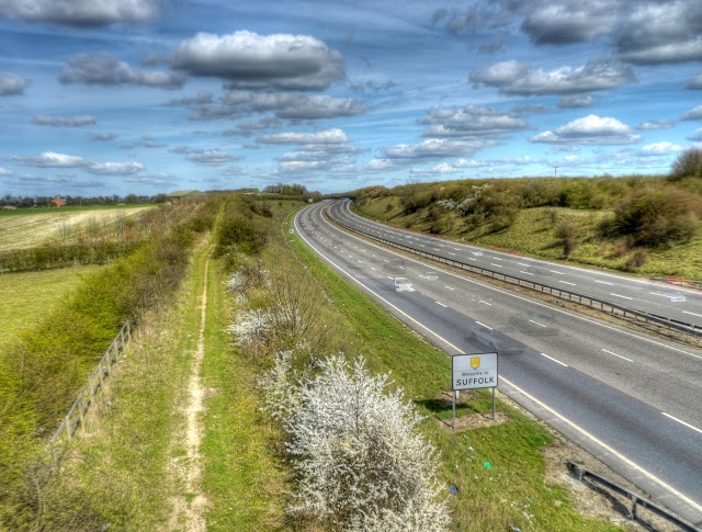
The track towards Exning - the direction I am going - where I will pass into Suffolk. Again you can see that there are ghost cars.
The route then leaves the byway to join the Sustrans 51 between Burwell and Exning on the Heath Road same heath another road.) If you follow the link you will see the point (on Google Maps) where the path emerges - from this direction it hardly looks as if there is a path there. The Heath Road continues to run parallel to the A14 until Exning. To the left some crops in the fields and blossom in the hedgerows.
A closeup of the blossom - which I think is Hawthorn and has a slightly perfumed smell.
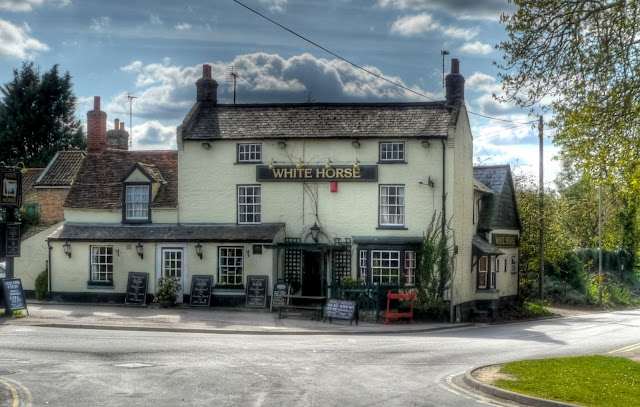
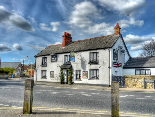
I cycled past this pub and then passed another pub incorrectly though both were called the White Horse. In fact this one is the White Horse and the other one...
Is this pub - the White Swan. It does not look too white though.
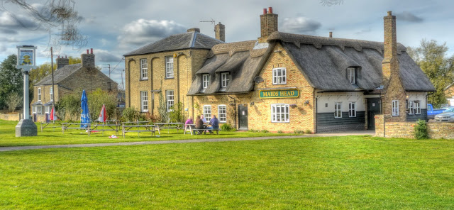
After Exning I headed back along the main street before turning off down a "No Through Road" - North end. The road leads to a Byway through to Burwell - which can be followed over the B1102 through to North Road in Burwell which then, if you turn left, joins up with Sustrans 11 - I took the Wicken Fen direction and whilst in the village took this picture of the Maids head in Wicken since there was a slight Pub theme to the photographs.
It is quite pleasant heading the "wrong" way around a familiar route, roll on Summer - I will have to take out my MTB (the one which I took to India) and venture further afield. I can't wait for the "shorts" weather to turn to "t-shirt" weather as well.
No comments:
Post a Comment